
Demographics
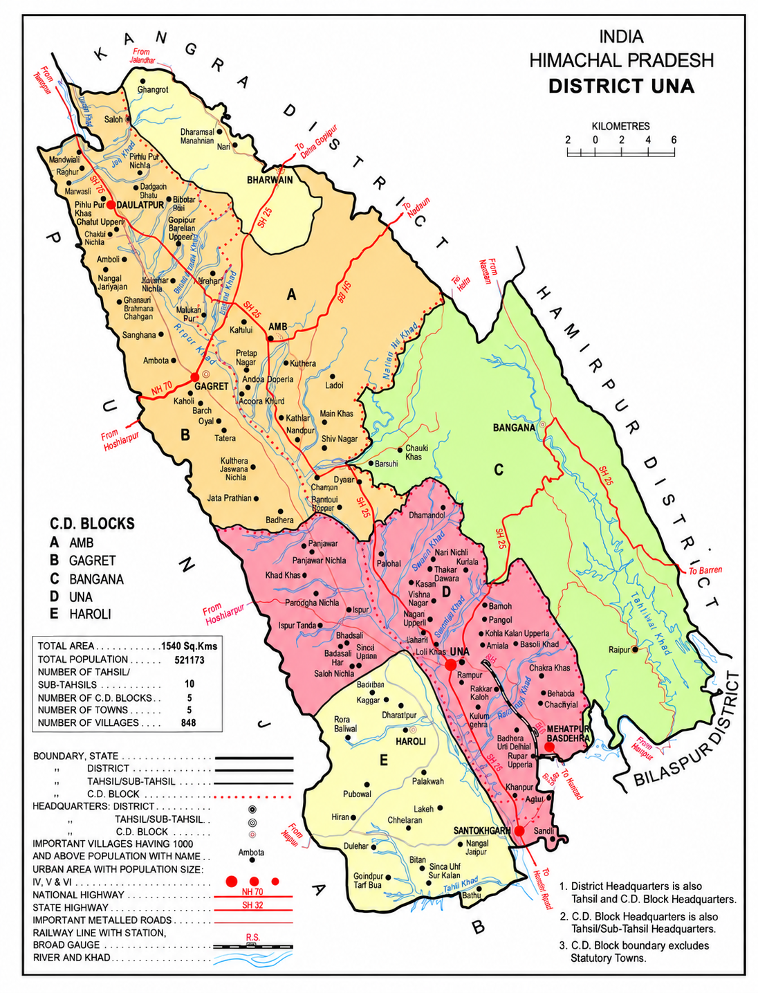
Una lies in the western part of Himachal Pradesh, with the Sivalik Hills of the Himalayas rolling on the western side and Solah Singhi range on the eastern side. The Satluj river alongside Shahtalai, known for the shrine of Baba Balak Nath passes through south of district near Nangal Dam and Beas passes at the north of district near Pong Dam, Talwara.
The altitude varies from more than 409 meters in plains to over 1200 meters in hills. Swan River which is basically seasonal river and also known as soul of district Una flows 65 km right across the Jaswan Valley towards south until it submerges in the Sutlej river near Anandpur.
Historical Population
| Year | Pop. | ±% p.a. |
|---|---|---|
| 1901 | 165,000 | — |
| 1911 | 161,786 | −0.20% |
| 1921 | 161,856 | +0.00% |
| 1931 | 170,620 | +0.53% |
| 1941 | 194,249 | +1.31% |
| 1951 | 196,829 | +0.13% |
| 1961 | 226,696 | +1.42% |
| 1971 | 261,357 | +1.43% |
| 1981 | 317,422 | +1.96% |
| 1991 | 378,269 | +1.77% |
| 2001 | 448,273 | +1.71% |
| 2011 | 521,173 | +1.52% |
Source: Census India — censusindia.gov.in